
The need to access accurate, reliable location data and view it in a meaningful way is now fundamental to industries and communities around the world.
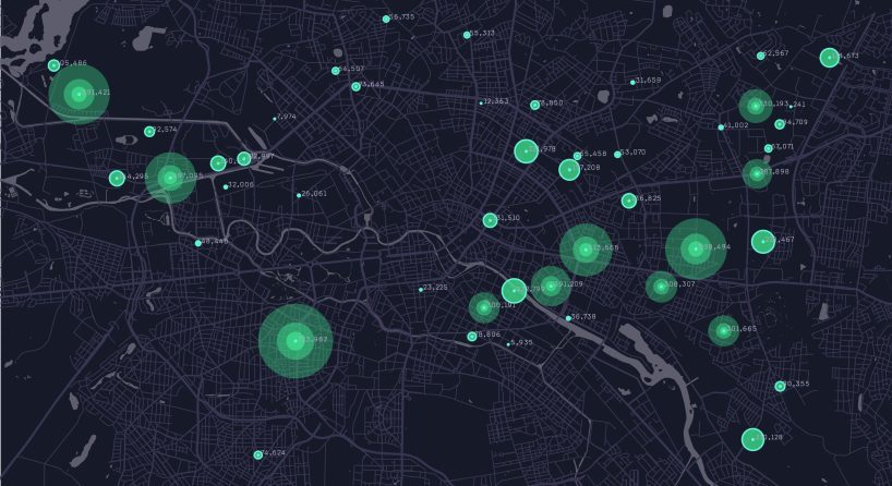
The power of location data lies with experienced spatial professionals who ask questions.
Our Spatial and Visualisation team analyses and interprets data from a multitude of sources to provide answers, efficiencies, and insights to projects. Decision making is enhanced with innovative solutions that make sense, tell a story, and are fit for purpose.
Experts Across a Range of Spatial, GIS And Visualisation Services
Our spatial consultants design, implement and manage online web viewers and portals that make it easy to access and illustrate project outcomes. Maps, project data, text, imagery, and multimedia content tell a project’s story in an interactive environment. Combining these elements on-screen gives viewers full interactive control over how they read and experience the project. With visual appeal and a strong sense of place, the viewer can easily interrogate spatial relationships.
Our Geographic Information System (GIS) integrates directly with field data collection platforms to provide consistent, seamless, and secure spatial information management solutions.
With familiarity across multiple GIS platforms, we independently assess current site requirements and develop tailored GIS solutions. Support includes training of specialist staff, ongoing management and maintenance of site-specific data, system and process documentation, field data capture techniques and production of mapping outputs.
The team is involved across all stages from initial planning and desktop analysis, to acquiring and managing data from multiple sources and formats, through to mapping production for both print and digital form. The team’s expertise within GIS, CAD and graphic design platforms offers:
- Data capture, provision, storage, management and analysis
- Scripting and coding for efficiency and high performance
- Landform and environmental modelling (2D, 3D and 4D) and analysis, including modelling and photomontage delivery for Visual Impact Assessments
- Map production
- Bespoke graphic design to support project messaging and delivery in print and online
Get in touch today to see how we can turn your location data into valuable project insights.


Defence Estate Divestment: Navigating Environmental Complexity Under the EPBC Act
Planned divestment across the Defence estate is generating significant interest. While often characterised as a property transaction, Defence divestment is increasingly an environmental and regulatory challenge.
World Water Day 2026: Women Shaping Inclusive Water Outcomes at Umwelt
World Water Day 2026 highlights water and gender equality, as we hear insights from the women in Umwelt’s Water Services team.

Environment Protection Licence requirements and climate change: What You Need to Know
NSW EPA’s new climate change requirements introduce mandatory greenhouse gas reporting and planning for certain Environment Protection Licence holders from 2027.
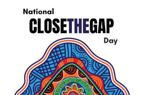
National Close the Gap Day 2026
At Umwelt, we’re taking action to support meaningful, lasting change for collective action to achieve health equality for Aboriginal and Torres Strait Islander peoples.
